


Description
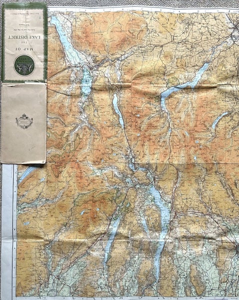
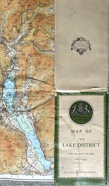
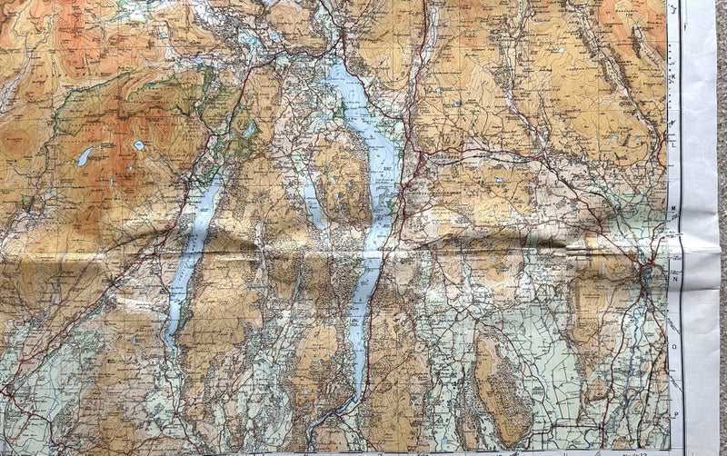
Vintage c. 1925 Ordnance Map of ‘The Lake District’ UK. Scale One Inch to One Mile. Published by the authority of the Ministry of Agriculture & Fisheries. First published in 1925 by the Director General at the Ordnance Survey Office, Southampton, with periodical corrected reprint.
Map printed on linen backed paper. Measurements:- 83.5 cms x 69 cms
Map in very good used condition - some minor creasing in one corner. Title panel has some wear and tear.
Please check out my other listings. Happy to combine postage costs!
Details
Condition:
Shipping & pick-up options
| Destination & description | Price | |
|---|---|---|
| To be arranged | N/A | |
| Pick-up available from Upper Hutt City, Wellington | Free | |
Payment Options
Pay instantly by card, Ping balance or saved bank account.
Cash, NZ Bank Deposit
Questions & Answers
No questions have been asked!
Vintage c. 1925 Ordnance Map of ‘The Lake District UK’
Closes: Wed 30th Jul, 8:57am
5 days, 16 minutes
F
fluffie1 ( 2323
About the seller
fluffie1
100% positive feedback( 2323 Location
Member since
View seller's other listings