


Details
Description
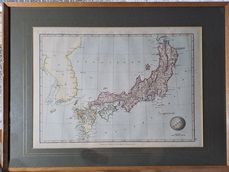
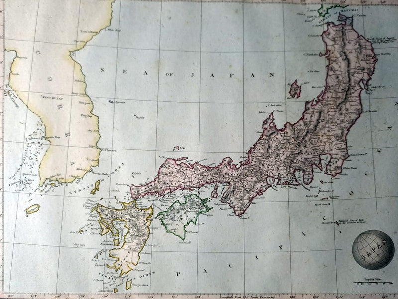
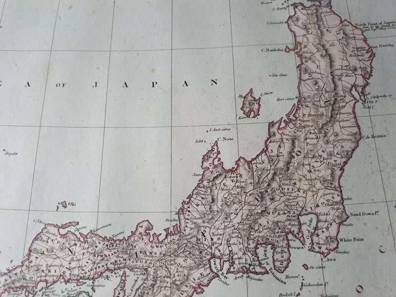
Original antique map of Japan/ Korea for sale. Dated 1840 by G. F. Cruchley of London, this tastefully hand coloured map would once have formed part of a world atlas. It has the old names for most Japanese and Korean towns and cities, e.g. Edo for modern Tokyo, Miyako for Kyoto, King Ki Tao for Seoul, etc. The map itself is not 100% accurate as both Japan and Korea were closed at that time and information was taken from details released by Dutch and Chinese merchants who were allowed to trade. This information was then acquired by the various navies and would be useful for invasion purposes, or a forced opening to trade – as happened in 1853. A real conversation piece to grace any home. Dimensions: Map – 32cm x 26cm. In frame – 44.5cm x 37cm. Pick up from New Windsor, Auckland or willing to post but can not guarantee the glass in the frame.
Shipping & pick-up options
| Destination & description | Price | |
|---|---|---|
| Pick up (Auckland City, Auckland) | Free | |
| Shipping to be arranged with seller | N/A | |