


Description
The Picture and Title form part of the description so please refer to these when purchasing this item
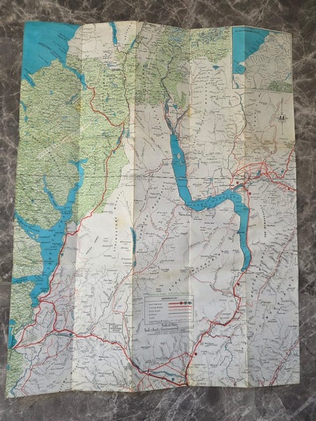
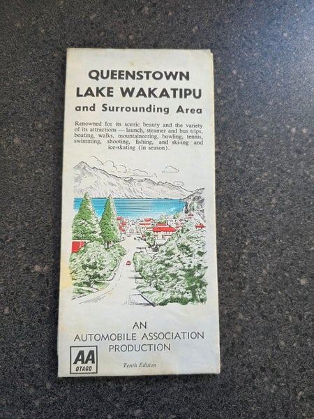
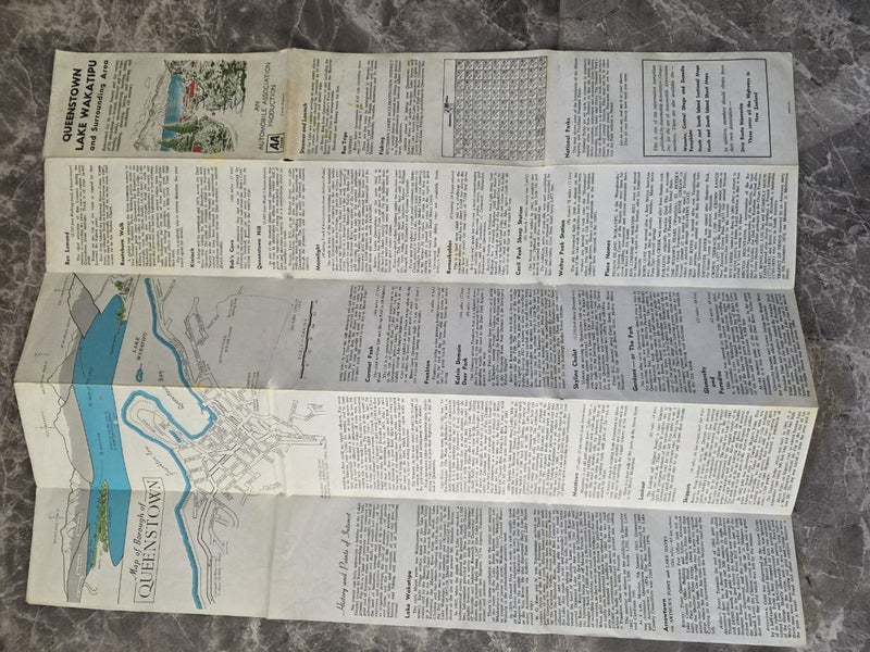
Interesting historical map as it was in the 1960's AA 10th Edition Map of Queenstown Lake Wakatipu and Surrounding Districts including Te Anau Including a Map of the borough of Queenstown
Some Browning to the Map is Present adding to its Charm
Shows the 45th Parallel line Running almost right through queenstown and frankton
Lands and Survey License No. 1962/5
Measuring - 560x435mm when unfolded to its edge
»»»All items we send are sent via Courier and we have chosen the cheapest option available which is Normally Aramex for each listing , if you wish for the item to be signed for or if you prefer to use NZ Couriers please let us know before purchasing as this is will be more expensive and we will need to edit the delivery fees .
- We deliver to Po BOX Numbers by request only please ask for a price before purchasing .
- Please ask questions that may affect the sale before the purchase .
- We only use pictures of our actual products taken by ourselves
Details
Shipping & pick-up options
| Destination & description | Price | |
|---|---|---|
| Nationwide | $5.50 | |
| Nationwide - Rural | $13.09 | |
| Pick-up available from Appleby, Invercargill, Southland | Free | |
Payment Options
Pay instantly by card, Ping balance or saved bank account.
Four fortnightly interest-free payments.
Cash, NZ Bank Deposit