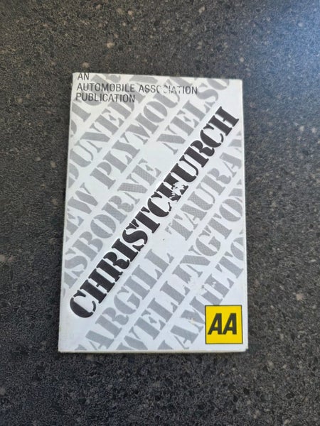


Description
The Picture and Title form part of the description so please refer to these when purchasing this item
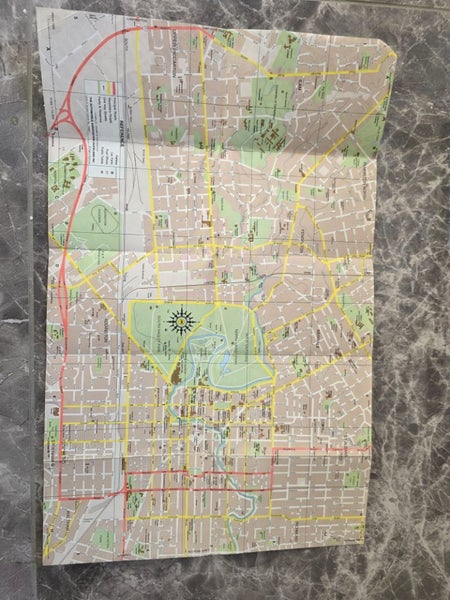
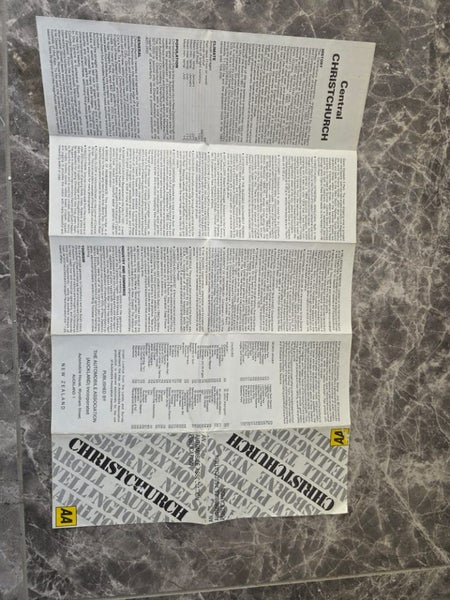
This Map was printed in 1981 First edition
Lands and Survey License No.1958/1 Indicating it is from the 1958 layout or survey at that time
Overall Measurements are 457x290mm when unfolded
Ideally frame it or Laminate it and hang on the wall as a conversation piece or historical snapshot of the city for interest and comparison
»»»All items we send are sent via Courier and we have chosen the cheapest option available which is Normally Aramex for each listing , if you wish for the item to be signed for or if you prefer to use NZ Couriers please let us know before purchasing as this is will be more expensive and we will need to edit the delivery fees .
- We deliver to Po BOX Numbers by request only please ask for a price before purchasing .
- Please ask questions that may affect the sale before the purchase .
- We only use pictures of our actual products taken by ourselves
Details
Shipping & pick-up options
| Destination & description | Price | |
|---|---|---|
| Nationwide | $5.50 | |
| Nationwide - Rural | $13.09 | |
| Pick-up available from Appleby, Invercargill, Southland | Free | |
Payment Options
Pay instantly by card, Ping balance or saved bank account.
Four fortnightly interest-free payments.
Cash, NZ Bank Deposit