


Details
Description
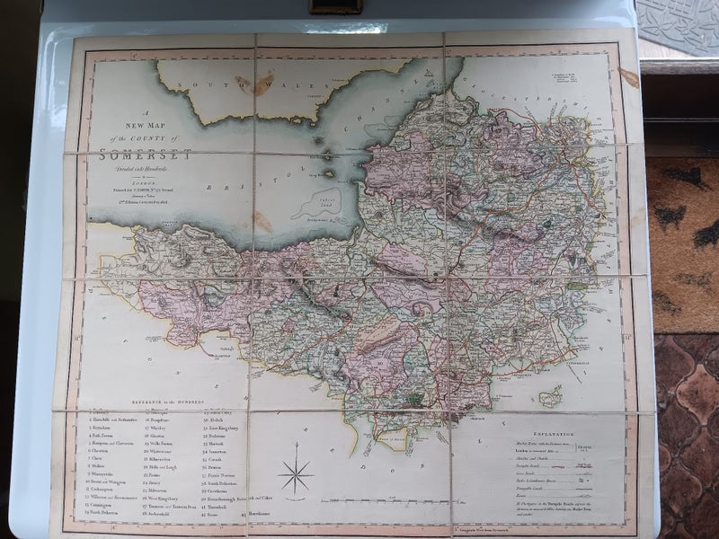
A charming Regency Period map of the county of Somerset England measuring 53.5cm x 47.5 cm comes with handy green storage slip. It says –
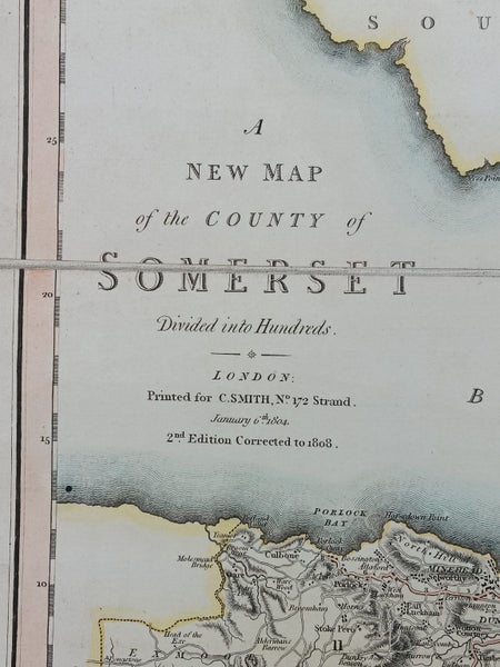
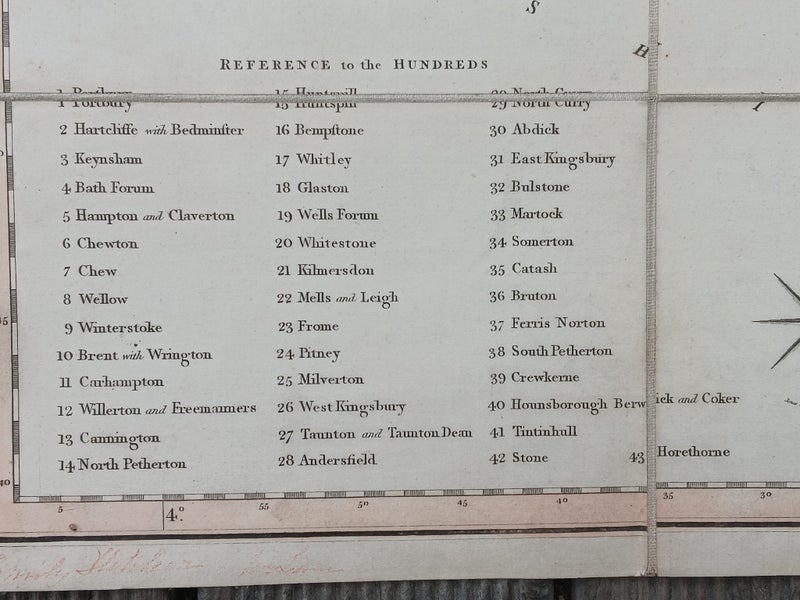
A NEW MAP of the COUNTY of SOMERSET Divided into Hundreds -*- LONDON Printed for C.S SMITH no 172 Strand January 6th 1804 2nd Edition Corrected to 1808
Loads of detail from a quality map maker - Charles Smith, a 19th-century London-based map publisher, engraver, and globe seller whose business was located at 172 Strand from 1803 until at least 1854. He was appointed map seller to the Prince of Wales in 1809 and became known for atlases and charts of England and London, with his company operating as "Charles Smith and Son" from 1826 to 1854. The business was later taken over by George Philip & Son in 1916.
This is one of their earlier works that set the standard for Imperial map making for decades to come.
Pick-up in Waltham Christchurch – Not far from New World St Martins.
Shipping & pick-up options
| Destination & description | Price | |
|---|---|---|
| New Zealand | $10.70 | |