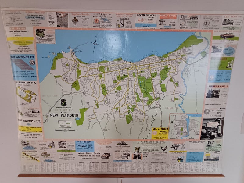


Rare vintage 1950s wall map of New Plymouth city with local ads and street index
Details
Description
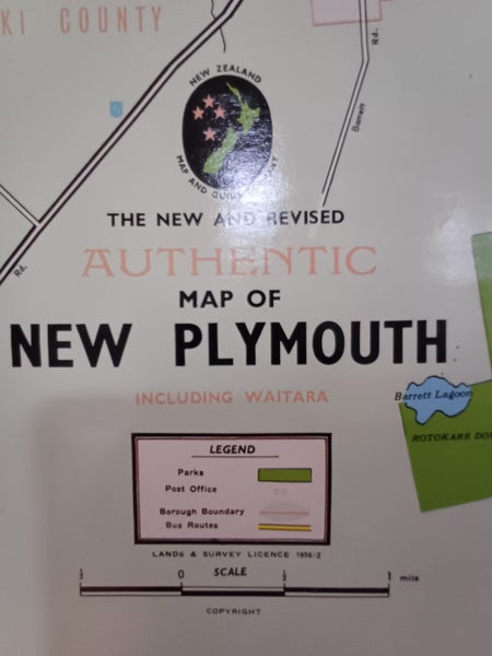
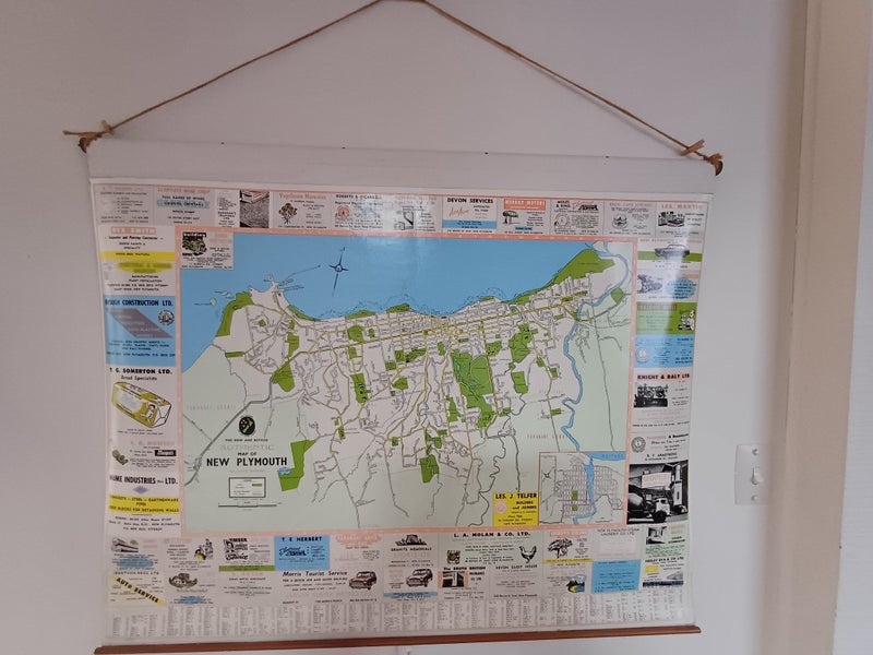
Rare 1950s wall map of New Plymouth city with street index and advertisements for local shops and businesses. Published by the NZ Map and Guide Company with a Lands and Survey License of 1956/2. It is linen-backed with wooden rails top and bottom, and originally it would have manually rolled up and down by the toggle at the bottom. The distances on the map are all in miles, and the ads have measurements in feet and inches, and prices like 7/6. Lots of the phone numbers of businesses only have 4 numbers, and the ads are a social history treasure-trove! At some point the map has been used to mark in biro plans for new streets that didn't exist at the time eg Cumberland Street! Map is in good condition but does have wear and tear around the edges (see photos) Measures 101cm W x 82cm H x 3cm W (inc hanger).
Shipping & pick-up options
| Destination & description | Price | |
|---|---|---|
| Pick up (New Plymouth, Taranaki) | Free | |
| Shipping to be arranged with seller | N/A | |