

Description
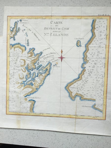
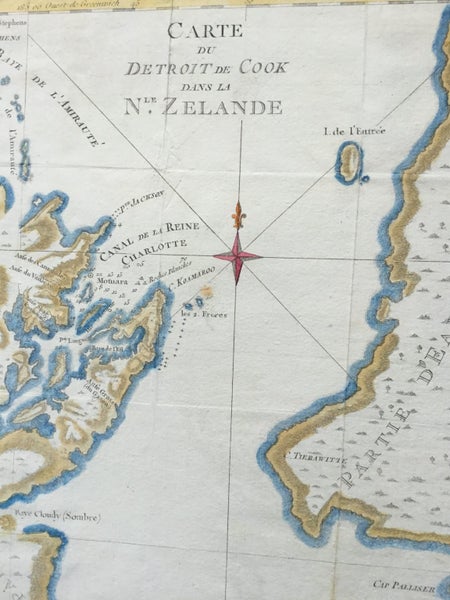
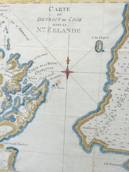
An 18th century map of New Zealand from the first French edition of James Cook's first voyage in which he charted New Zealand and the east coast of Australia. The map depicts Cook's Strait, which separates the north and south island of New Zealand. Present day Wellington (NZ's capital), Marlborough Sounds, and Cloudy Bay (famous for their white wines) are located within the scope of the chart. From the first French edition of the Official Account of Cook's voyage to Australia, Paris, 1774.
This map was engraved by Robert Bénard for the 1774 French edition of Hawkesworth's 1773 account of Cook's voyages. It follows the 1772-1773 English edition Paper 320 x 330 Has been professionally cleaned perfect for framing. Hand coloured.
Details
Shipping & pick-up options
| Destination & description | Price | |
|---|---|---|
| Track & Trace NZ Post sign for | $15.00 | |
Seller does not allow pick-ups
Payment Options
Pay instantly by card and Ping balance.
Four fortnightly interest-free payments.
Cash
Questions & Answers
Cook's Strait Original. Rare 1778
Am I covered by Buyer Protection?
When you make a purchase using any Ping payments like Card or Balance, or Afterpay we are able to protect your trade under our Buyer Protection policy, up to $5,000.
Learn more about Trade Me's Buyer Protection.