
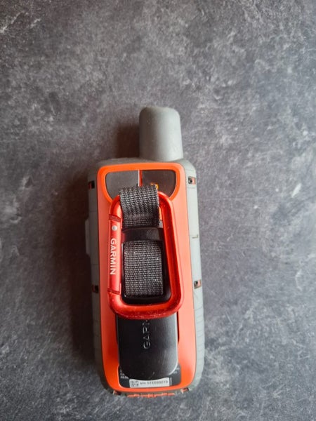
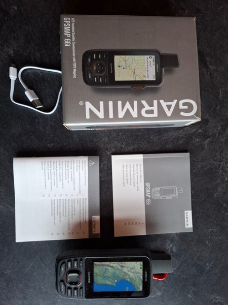


Description
Has had minimal use, mostly as a back up communication device through inreach.
Features:
Multi-GNSS Support: Access multiple global navigation satellite systems (GPS and GLONASS) to track in more challenging environments than GPS alone. ABC Sensors: Navigate every trail with ABC sensors, including an altimeter for elevation data, barometer to monitor weather and 3-axis electronic compass.
Birdseye Satellite Imagery: Download high-resolution, photo-realistic maps directly to your device without an annual subscription. Easily find trails, pick stand locations, find parking, create waypoints and more.
Preloaded TopoActive Australia and New Zealand maps: Preloaded TopoActive Europe maps show you summits, parks, coastlines, rivers, lakes and geographical points.
Two-way Messaging: Exchange text messages with loved ones or friends, post to social media, or communicate from inReach to inReach in the field. Satellite subscription required.
Details
Shipping & pick-up options
| Destination & description | Price | |
|---|---|---|
| Nz | $12.00 | |
Seller does not allow pick-ups
Payment Options
Cash, NZ Bank Deposit