Get access to exclusive benefits with this Platinum Partner
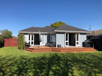
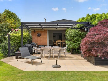
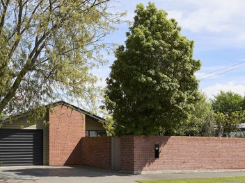
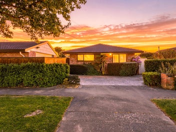
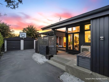
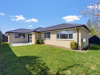
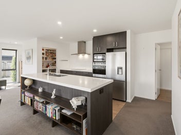
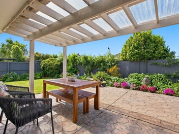
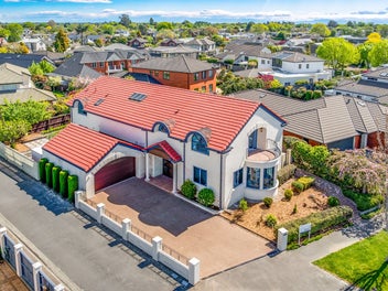
65 Westpark Drive, Burnside, Christchurch
SOLD: $1,337,700
Property details
- Ownership type (Council record)
- Freehold
- Floor Area (Council record)
- 255m² more or less
- Land area (Council record)
- 817m² more or less
- Bedrooms (Council record)
- 5 Bedrooms
- Bathrooms (Council record)
- 2 Bathrooms
- Garage parking (Council record)
- 2 Garage parking
- Off-street parking
- 2 Off-street parking
- View type
- None
- Decade built
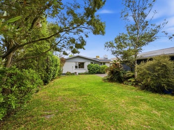
- 2000s
- Wall material
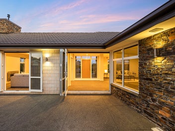
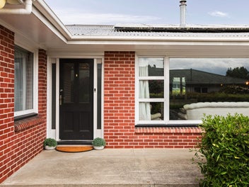
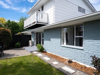
- Brick, including clay and concrete bricks
- Roof material
- Iron, including steel and corrugated long-run
- Building footprint
- 255m² more or less
- Contour
- Level
- Capital value (CV)
- $1,400,000
- Land value
- $660,000
- Improvement value
- $740,000
- Certificate of title
- 304961 Certificate of title
- Legal description
- LOT 31 DP 375817

Stay updated on this property!
Receive updates on value estimates and be the first to know if it goes on sale.
| Date | This home | This suburb |
|---|---|---|
| $1.34M (range $1.26M to $1.42M) | $805K | |
| $1.34M (range $1.26M to $1.42M) | $800K | |
| $1.35M (range $1.26M to $1.43M) | $795K | |
| $1.34M (range $1.26M to $1.43M) | $810K | |
| $1.36M (range $1.27M to $1.44M) | $805K | |
| $1.35M (range $1.27M to $1.44M) | $800K | |
| $1.36M (range $1.28M to $1.44M) | $805K | |
| $1.37M (range $1.28M to $1.45M) | $815K | |
| $1.34M (range $1.26M to $1.42M) | $810K | |
| $1.39M (range $1.32M to $1.45M) | $815K | |
| $1.39M (range $1.31M to $1.46M) | $810K | |
| $1.38M (range $1.3M to $1.46M) | $815K | |
| $1.37M (range $1.29M to $1.45M) | $810K | |
| $1.39M (range $1.31M to $1.47M) | $810K | |
| $1.36M (range $1.28M to $1.44M) | $810K | |
| $1.38M (range $1.3M to $1.46M) | $815K | |
| $1.38M (range $1.3M to $1.46M) | $815K | |
| $1.39M (range $1.31M to $1.47M) | $810K | |
| $1.4M (range $1.32M to $1.47M) | $815K | |
| $1.39M (range $1.32M to $1.47M) | $815K | |
| $1.38M (range $1.31M to $1.46M) | $820K | |
| $1.41M (range $1.33M to $1.49M) | $820K | |
| $1.41M (range $1.34M to $1.48M) | $815K | |
| $1.41M (range $1.34M to $1.49M) | $820K | |
| $1.42M (range $1.35M to $1.5M) | $825K | |
| $1.4M (range $1.32M to $1.48M) | $825K | |
| $1.41M (range $1.34M to $1.49M) | $825K |
- Capital value
- $1.4M
- Capital value updated
- Land value
- $660K
- Improvement value
- $740K
Sale history timeline
- Sold
$1,337,700

- Capital Value
$1,400,000
- Capital Value
$1,400,000
- Capital Value
$970,000
- Capital Value
$960,000
- Capital Value
$930,000
- Sold
$715,000

- Sold
$250,000
- Sold
$250,000
- Decade built

Local Schools
IN ZONE Breens Intermediate85 Breens Road
698 m
Intermediate (Intermediate), State, 273 enrolled
IN ZONE Te Ara Maurea Roydvale School117 Roydvale Avenue
830 m
Contributing (Primary), State, 293 enrolled
IN ZONE Burnside High School151 Greers Road
1.6 km
Secondary (Year 9-13) (Secondary), State, 2729 enrolled
While we've done our best to correctly list schools in this location, school zone information may not be exact, so please double check with the school.
Nearby Sold Properties
View all