Feature article
See flood maps on Auckland listings
We've added Council flood map data to Auckland property listings.
Last updated: 27 January 2026

AI summary
Trade Me has added official Auckland Council flood map data to property listings across Tāmaki Makaurau. This feature helps buyers evaluate a property's potential flood risk and plan mitigation steps.
The maps show key information including:
- Flood plains
- Flood-prone areas
- Overland flow paths
This new map layer is available on the desktop site and the Trade Me Property App, helping you build your property confidence before you buy.
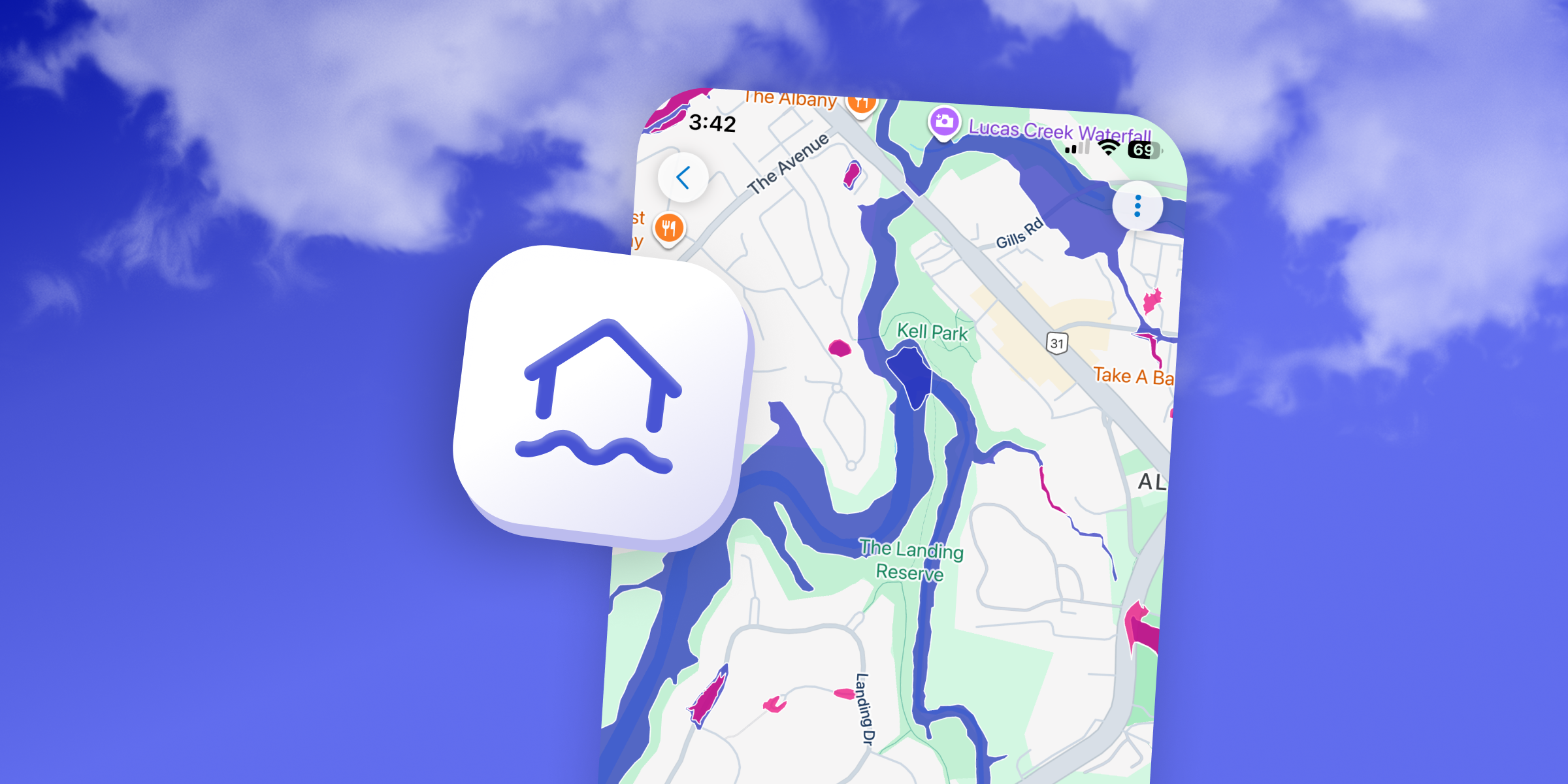
Understanding and evaluating a property's potential flood risk is a key part of building your property confidence.
We've now added official flood maps to our property listings across Tāmaki Makaurau (Auckland) to help you identify at risk properties and plan steps to mitigate flood risk, like landscaping or improving drainage.
This data is sourced directly from Auckland Council and shows key information like:
- Flood plains
- Flood prone areas
- Overland flow paths
You can find this new map layer on our desktop site and in the Trade Me Property App for iOS and Android.

Discover More

Otatara: Minutes From Town But A World Away | You Are Here
Two Invercargill locals on the bush-clad oasis minutes from the city - and the lifestyle that can't be replicated.
2027 property market: why agents are feeling optimistic
Agents in Auckland, Wellington and Christchurch share what’s giving them confidence heading into 2027.


Search
Other articles you might like