


Hema Western Australia Road and 4WD Track Atlas
Description
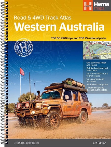
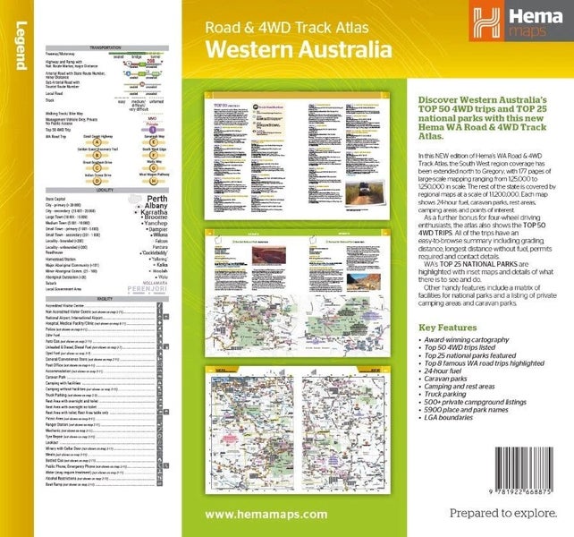
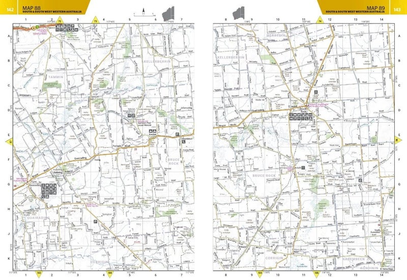
Western Australia Road & 4WD Track AtlasEmbark on a grand exploration of Australia's largest state with the Hema Maps ‘Western Australia Road & 4WD Track Atlas’. This comprehensive guide is your key to planning and navigating an unforgettable journey through Western Australia (WA), featuring state-wide atlas mapping that spans the entire region.Uncover the beauty of WA with the Top 50 4WD Trips, each offering track grading, distances, contact information, and atlas references. Delve into the natural wonders of the Top 25 WA National Parks, complete with camping areas, activities, inset maps, and contact details. The atlas also highlights private camping areas and caravan parks, ensuring a range of accommodation options for your adventure.An index and a list of accredited visitor centres add practicality to this indispensable guide, making it perfect for seasoned 4WD enthusiasts and travellers seeking to discover Western Australia's diverse landscapes.FeaturesTop 50 4WD Trips with detailed guidanceTop 25 WA National Parks with camping and activity detailsState-wide detailed mapping (1:250,000 scale)Caravan parks and dump pointsCamping and rest areasTruck parking locationsInformation on visitor centresSpecificationsEdition: 4thPublication Date: 15/02/24Number of Pages: 211Dimensions: 290mm (H) x 230mm (W) x 20mm (D)Weight: 0.95kgAbout Hema MapsHema Maps is a trusted leader in creating high-quality, accurate, and innovative mapping solutions All Items are listed in NZD including GST. Delivery is approx 7-14 days. Include your phone number with your order. All stock qty is accurate as per the stock holding in our actual Melbourne warehouse.