

Description
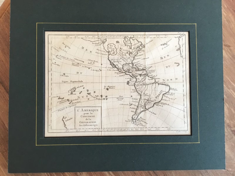
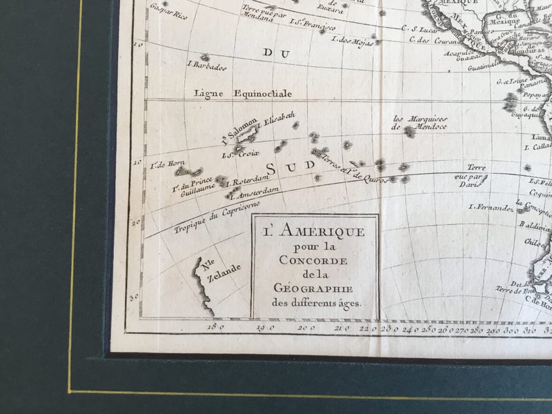
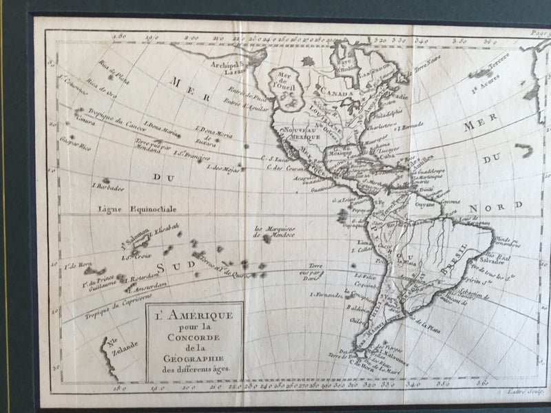
The America's by Jean Lattre printed 1785. The map shows the 'eastern sea' (Mer de L'Ouest) which many early cartographers believed to exist in the centre of North America. Abel Tasman's charting of New Zealand shown. Copper engraved map on hand laid paper. Jean Lattre (Active 1750 - 85) was a Paris based publisher, map maker. He produced a large renge of maps and atlases including making globes, and he worked with a number of well known cartographers including Janvier, Zannoni and Bonne. The map is from 'Concorde de la Geographie des differens ages ouvrage posthume de M.Plucke' published in 1785. Plate 220 165 mm Outer matt 250 x 300 mm Folds as called for. In fine condition
Details
Shipping & pick-up options
| Destination & description | Price | |
|---|---|---|
| Track & Trace NZ Post sign for | $11.00 | |
Seller does not allow pick-ups
Payment Options
Pay instantly by card and Ping balance.
Four fortnightly interest-free payments.
Cash
Questions & Answers
New Zealand Tasman charting . America. Lattre 1785 original
Am I covered by Buyer Protection?
When you make a purchase using any Ping payments like Card or Balance, or Afterpay we are able to protect your trade under our Buyer Protection policy, up to $5,000.
Learn more about Trade Me's Buyer Protection.