

Description
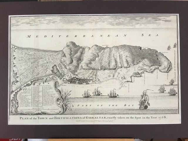
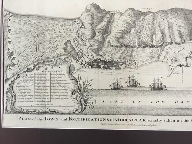
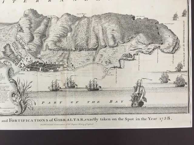
GIBRALTAR. PLAN OF THE TOWN AND FORTIFICATIONS OF GIBRALTAR 1738. Original Plan of the Town and Fortifications of Gibraltar, exactly taken on the spot in the Year 1738. A map of Gibraltar marking the fortifications of both the British Garrison and those of the Spanish from the Thirteenth Siege of Gibraltar (1727). It is likely that the author of the map was Tindall himself: as Chaplain to the Fleet he had been posted to Gibraltar. Nicholas Tindal (1687-1774), at one time Chaplain to Greenwich Hospital, first published a translation of Frenchman Paul de Rapin's 'History of England' in 1727, running to thirteen volumes; in 1732 it was enlarged with his own notes and maps. Very good condition Uncoloured as issued. Matted ready for framing. Paper size 380 x 610 mm. Matt outer edge 690 x 480 mm.
Details
Shipping & pick-up options
| Destination & description | Price | |
|---|---|---|
| Track & Trace NZ Post | $20.00 | |
| Pick-up available from Lower Hutt City, Wellington | Free | |
Payment Options
Pay instantly by card and Ping balance.
Four fortnightly interest-free payments.
Cash
Questions & Answers
Gibraltar Map. Original engraved copper plate 1738. Large.
Am I covered by Buyer Protection?
When you make a purchase using any Ping payments like Card or Balance, or Afterpay we are able to protect your trade under our Buyer Protection policy, up to $5,000.
Learn more about Trade Me's Buyer Protection.